The Herculaneum Society promotes conservation, research and public education at the UNESCO Herculaneum Archaeological Site and is an active supporter of projects that further these objectives.
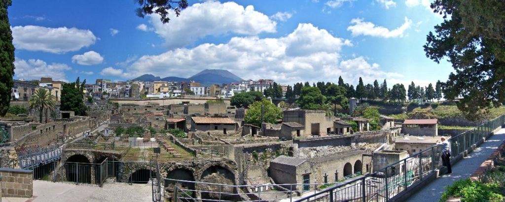
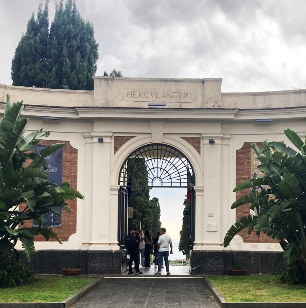
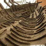
The eruption of Vesuvius that burnt and buried the Roman seaside town of Herculaneum in 79 CE left it better preserved than nearby Pompeii, and together they provide a uniquely vivid picture of Roman life. The only library to survive from the ancient Greco-Roman world is in the Villa of the Papyri at Herculaneum. The site itself is managed by the Parco Archeologico di Ercolano with whom we work closely. Read more about Ercolano.
For over 20 years the Herculaneum Society, a charitable company, has been working to promote public awareness of Herculaneum, the UNESCO world heritage site at Ercolano near Naples, Italy. A membership organisation open to all, the Society offers access to the latest research, arranges expert-led visits to the site, provides bursaries and supports conservation, research and scholarship, and much else. Join us to get the latest news, enjoy events, talks and conferences, and support projects at this fascinating site. For our latest exciting project follow this link!
-
The Eternal Library (Naples, 22-26 June 2026)
This live-streamed international conference will bring together world-leading papyrologists, archaeologists, art historians and others well known to the Friends to discuss the past, present and future of the Herculaneum papyri. […]
-
Funded Master of Studies in Herculaneum Papyrology at Oxford
The Faculty of Classics at Oxford invites applications for two fully funded places to study Herculaneum papyrology as part of a Master of Studies in Greek and/or Roman Language and […]
-
Latest from the Vesuvius Challenge
Great strides have been made in ink detection in the Herculaneum papyri. Follow this link to learn more. (For regular updates, subscribe to scrollprize‘s substack site!) [9 October 2025]